Amsterdam : Images of the City

Amsterdam - Keizersgracht

14th – 16th July 2011. Written by Xin Li.
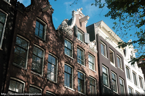
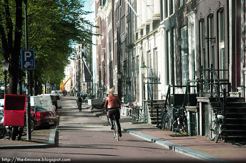
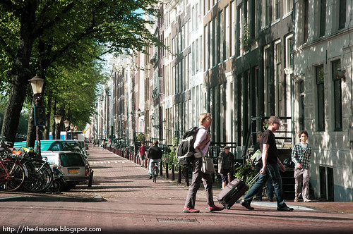
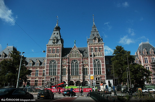
Amsterdam, The Netherlands.
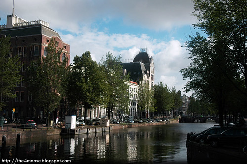
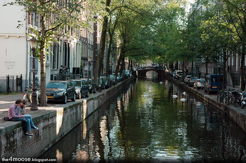
Keizersgracht
is the second canal of Amsterdam and the widest among the three major canals of Amsterdam built in the 17th century. The canal’s name is loosely translated as the Emperor’s Canal, it was named after the Maximilian I, the Holy Roman Emperor.


Amsterdam - Keizersgracht

While walking along the Keizersgracht (I enjoyed walking next to these quaint canals, think of the Philosopher’s Path in Kyoto). I spotted this symbol at 278 Keizersgracht. The logo is a combination of a compass, T ruler and set square. An architecture firm?


Amsterdam - 278 Keizersgracht


Amsterdam - Herengracht


Amsterdam - Keizersgracht

Like the three major canals, houses were built around it during the expansion of the city in the 17th and 18th centuries and these formed the iconic cityscape of Amsterdam.


Amsterdam - Keizersgracht


Amsterdam - Canal House

Herengracht is the first of the three major canals. The name refers to heren regeerders, who governed the city in the 16th and 17th centuries (Wikipedia.com).


Amsterdam - Herengracht


Prinsengracht is the longest of the three canals. It was named after the Prince of Orange.


Amsterdam - Prinsengracht


Amsterdam - Pieter Geomansbrug


Near Rijksmuseum is Leidseplein, located at the southern end of the Amsterdam central canal ring. Apparently it is one of the busiest places for nightlife in Amsterdam. There were outdoor cafes and theatres such as the Stadsschouwburg around here.


Amsterdam - Leidseplein


Weteringschans dates back to the 19th century. There are a few elegant looking mansions along this street. It is just opposite the Rijksmuseum.


Amsterdam - Weteringschans


Amsterdam - Weteringschans


Amsterdam - Rijksmuseum


Amsterdam - Bridge


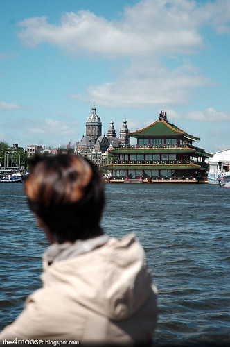
On our cruise with the Blue Boat Company, we saw this oriental looking floating restaurant. It is called the Sea Palace, and it serves Beijing, Sichuan and Cantonese cuisines.


Amsterdam - The Sea Palace


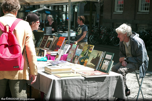
In an area named Spui we encountered a book and antiques fair going on. You can find some 16th century or 17th century maps on sale and a variety of design books.


Amsterdam - Spui


Amsterdam - Spui


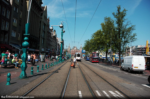
Damrak was a partially filled in canal. It is the main street that leads from Amsterdam Centraal Station to Dam Square.


Amsterdam - Damrak


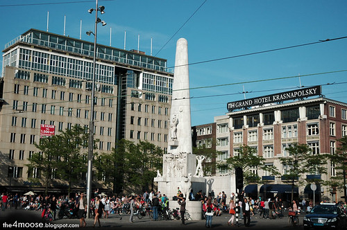
Located in the historic center of Amsterdam, Dam Square got its name from its original function as a dam on the Amstel River. It was built in 1270 AD. The dam eventually grew in size and became the town square. When Damrak, the former mouth of the Amstel River was filled up, Dam Square became surrounded by land on all four sides.


Amsterdam - Dam Square


At Dam Square you could find the National Monument or Nationaal Monument. It is a World War II monument built in 1956 and designed by J.J.P Oud a member of the De Stijl Movement.


Amsterdam - Dam Square


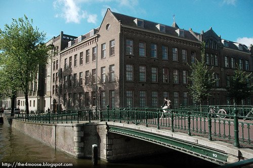
Oudezijds Acterburgwall is canal located in the red light district of Amsterdam. This was taken near the Oriental City Restaurant, a Chinese restaurant and near Waalsekerk.


Amsterdam - Oudezijds Achterburgwal


That wraps up our short little trip to Amsterdam.


Amsterdam - Walk


0 comments:

Post a Comment

Note: Only a member of this blog may post a comment.


the moose & snowman

the soft toy. the soft toy.

makan corner

Follow Us on Facebook

Total Pageviews